Monday 29 August 2016

Langport to Watergore

11/6/16 Bus back to Langport. Apparently there was a walking festival on there that weekend. We didn't spot them. We started along the Parrett in the town, before crossing it and heading south back across the levels. This man-made landscape needs maintenance.


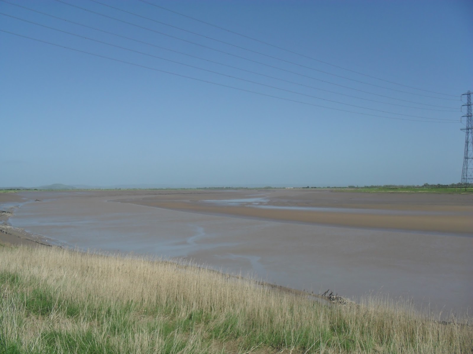
It's not the most exciting countryside to walk, but there is plenty of wildlife.


The path keeps close to the river until Kingsbury Episcopi. The Wyndhams Arms is the middle of the village.


It was a pleasant atmosphere in the pub with the landlord making the effort to talk with his customers. All the real ales were £3. I had a Black as yer At (4.3%), but I can't remember what Sid had, although we did sample the Googly.

We did go slightly wrong coming out of the pub, but I was confident that we were heading in the right direction and we soon spotted what looked like the Parrett across a field. The trail follows the river to Gawbridge. There it splits in two again and we follow it towards East Lambrook. We lose the river and follow the brook towards South Petherton.


The Brewers Arms is in the middle of this large village. The pub was reasonably busy for a Saturday afternoon with three different sports events on three televisions in their own areas of the bar. The beer was nice as well, but more incompetence by me means that I forgotten what we drank even if I can remember it was £6.60.

After leaving there it was a relatively short walk, not near any waterway but crossing the A303, to Watergore. From there we caught a bus to Ilminster for another pint before the trip home.

Burrowbridge to Langport

4/6/16 After catching the bus to Burrowbridge, the first decision is which route to take. The signs point us along the Parrett, but some of the maps show a diversion through Stoke St Gregory where there happen to be a couple of pubs. So we divert to the Tone, initially on its bank and then crossing onto a straight road through Athelney to Curload. Once there we head up Windmill Hill.


Then it is along the ridge to the Wetlands And Willow Centre. There we cross the road, go through a few more fields and head along the road into Stoke St Gregory.


The Royal Oak seemed like a nice village pub. We had pints of Rare Breeds (3.8%) and Box o Frogs (4.5%) for £7. From here, we followed the road around the village to the Rose & Crown.


We have pints of Otter Amber (4%) and Butcombe (4%) for £7.20. The pub is setup for food. We continue on the local roads to Stathe. There we rejoin the Parrett and the marked trail.


There is an obvious contrast with the village roads we started on. The Levels are open and watery with plenty of birdlife.


The trail goes along between the Parrett and the Sowy, which is a man-made river that shows how low the land is.


Bridgwater to Burrowbridge

14/5/16 Seeing as how we ran out of coast path, we decided to pick another watery waymarked route. We'd done part of the Parrett Trail last year, so picked on that.

We started where we crossed the Parrett on the coast path, now signposted as part of the English Coast Path, and followed the muddy banks inland. Soon we come across where Bridgwater docks used to join the river.


Just beyond the gates above are the docks themselves. Still full of water and some vessels, but not the commercial ones that it was built for.


The Admirals Landing is there with the tables outside and quite pub-like and busy on the inside. Pints of Seahawk (4.2%) and Tribute for £5.80 were had. Then we left the Parrett and headed along the Bridgwater and Taunton Canal, which avoids the streets of Bridgwater.


Once the other side of the town, the canal runs alongside the river as they pass under the M5. From that motorway and the railway line, many people will have passed the Boat & Anchor.


We had two pints of Moles Best (4%) for £7.20 which didn't live up to their name. The path then follows the canal for a while before veering back to the river at Moorland.


Once on the banks of the river again, we found the Thatchers Arms. We had pints of Butcombe (4%) and Rare Breed (3.8%) for £6. It was a small, quiet, rural pub and we felt at home. So we had the same again. Then we set off in the sunshine upstream. Sometimes we were behind the flood defences, sometimes on top. Westonzoyland pumping station was busy, there was a do on in Burrowbridge Village Hall and the pub was busy when we arrived.

Combwich to Bridgwater

13/6/15 Bused via Bridgwater where the pubs were busy for 10:30 in the morning. We arrived in Combwich, skirted around the EDF wharf before coming out on the river bank. There had been some rain the previous day and the grass was still wet. The grass along the man-made river bank had been cut in places, but not along the footpath itself. So we spent most of the time deciding whether to walk the flat, overgrown, wet bit in the middle or the drier bits along the side. There are not many River Parrett Trail signs and even fewer walkers.


Above is an old bench to sit on and look at the mud. We walk in most directions at some time and resist the temptation to cut corners as the river winds its way from the levels towards the sea. We cross several clyces (sluices) and can't fail to notice that the tide is still out.


Eventually we do meet some other people and come across signs of civilisation, like the sewage works. The path starts to dry out. We clamber up onto the first road bridge over the Parrett in Bridgwater and then down the other side to return seaward. The path is now behind some light industrial units. It is overgrown and still wet on this side. After a while, it continues behind some houses and the grass had been cut. Next we arrive at a modern business park. There is a Harvester that we seek for refreshment. We have to settle for expensive, fizzy cider. The path has a gravel surface now as we wind our way out of Bridgwater towards Dunball wharf.


The path comes out alongside a busy dual carriageway. Opposite the entrance to the wharf is Marston's Admirals Table.

We have two pints of Pedigree (4.5%) for £6.60. Followed by two more as waited for the bus back to Bridgwater.

Steart Point to Combwich

16/5/15 Early bus to Stogursey meant a bit of trek to rejoin the path on the Hinkley Point diversion. I didn't want to just retrace our steps and so tried a different route. Not all of it was easy going.


So we were already a little behind schedule as we joined the 'alternative path' and waved at the patrolling security guards. Then we reached the coast and started to leave the power station behind.


The path is flat and on a good surface here. The flat scenery makes it difficult to judge distances. We head inland along some old sea defences for a bit and then emerge near what I think is the end/start of the West Somerset Coast Path. We didn't see any signs telling us that, but we could some new English Coastal Path signs continuing on towards Steart Point. Those signs led us to a field with various bird hides.


We went into some of the hides looking for something that might tell us where the actual Point is, but without success. So we decide to retrace our steps but this time we keep to the new English Coastal Path/Parrett Trail. It seems to be more of a cycle path, without any cycles. It is still flat and now we were walking into a stiff breeze. Eventually we come out on the banks of the Parrett.


Time is against us as we get into Combwich if we are to make the last bus. But there is just enough to get pints of Old Speckled Hen (4.5%) and bargain East Coast IPA for £4.40.


The barmaid said that we were 20 minutes from the bus stop where the bus was due in 20 minutes time. So we hurriedly downed our pints and I forgot to take a photograph. (So thanks to Ruth http://coastalwalker.co.uk/2014/07/27/153-stert-point-to-bridgwater-river-parrett-trail/ for the above). We leave the trail somewhere near Combwich Wharf.


Luckily the bus stop was only ten minutes away for fit, young walkers like us.